Our First Flight: Using Drone Photography in Landscape Design
As a landscaping company, we were a little late to the game with drone photography. It always made sense for a landscape design, construction, and maintenance firm. Aerial photography can reveal scale, structure, circulation, and relationships across a property in ways ground-level images often cannot. Still, for a long time, it felt intimidating.
The equipment seemed daunting. The learning curve felt steep, especially for someone more comfortable with traditional, ground-based photography. Eventually, a large-scale project gave us the push we needed. The property needed an aerial perspective to capture its full scope, so we purchased a DJI Mini 2 drone and started learning.
That first phase was humbling. I took plenty of bad videos: jerky pans, awkward tilts, strange angles, and footage that was almost unwatchable. It is easy to fall into the trap of doing something with a drone simply because you can. What I learned over time is that drone photography works best when the drone is treated as a tool, not a gimmick.
The strongest images are usually the ones you already wanted but could not capture from the ground.
Key Takeaways
- Drone photography gives landscape designers a valuable aerial perspective for understanding scale, structure, and site relationships.
- The best drone images are intentional, not simply taken from high above because the technology allows it.
- Aerial views can help document completed projects, construction progress, planting patterns, patios, pools, roof gardens, and full-property transformations.
- Drone photography is especially useful for large properties where ground-level images cannot capture the full design.
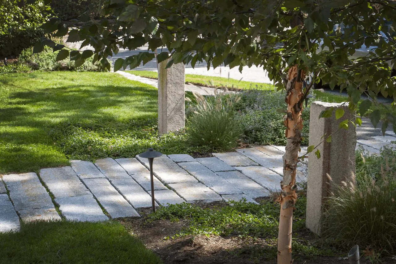
- For landscape design, the most powerful perspectives are often just slightly above ground level, not always directly overhead.
Why Drone Photography Makes Sense for Landscape Design
Landscape design is spatial. It is about how patios relate to lawns, how planting beds frame architecture, how paths move through a property, and how outdoor rooms connect to one another. Traditional photography is essential for capturing detail, texture, and atmosphere, but it can struggle to show the full composition.
Drone photography fills that gap.
From above, the logic of a landscape becomes clearer. You can see how a pool sits within the larger terrace, how a driveway shapes the arrival sequence, how plantings soften grade changes, or how walls, steps, lawns, and garden beds work together. For designers, that perspective is especially meaningful because it often resembles the way a landscape is drawn in plan view.
There is something deeply satisfying about seeing a finished property from above and recognizing the same structure that was once mapped in a landscape plan: the canopy of a mature tree, the geometry of a terrace, the curve of a path, or the rhythm of planting beds.
What Drone Photography Reveals That Ground Photography Cannot
The unexpected benefit of having a drone was not only capturing dramatic bird’s-eye views. In many cases, the most useful shots came from perspectives that were just out of reach.
A drone can capture:
- a view from over the middle of a pool
- a patio or terrace from slightly above furniture height
- a green roof from just above the roofline
- a grade change that is difficult to show from the ground
- the relationship between a house, landscape, and surrounding property
- the full layout of a large garden or estate-scale project
- construction progress across multiple zones of a property
These are not always high-altitude shots. Sometimes the best drone photograph is taken only ten or fifteen feet above the ground. That small change in perspective can make a design easier to understand.
Learning to Use the Drone With Restraint
At first, drone footage can be tempting to overproduce. It is easy to pan too quickly, fly too high, tilt too dramatically, or try to turn every shot into a cinematic sequence. The result can feel distracting rather than useful.
Good drone photography requires restraint. Smooth movement, thoughtful framing, and clear purpose matter more than dramatic tricks.
A few lessons became clear quickly:
- Move slowly and deliberately.
- Avoid unnecessary panning and tilting.
- Frame the shot before moving the drone.
- Think about the story the image needs to tell.
- Use height only when it improves the composition.
- Capture both context and detail.
The drone should support the landscape, not overpower it.
Drone Photography for Completed Landscape Projects
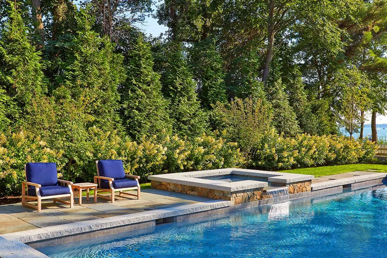
For finished landscapes, aerial photography can show the full impact of a design. This is especially valuable for properties with multiple outdoor spaces: a front entry, pool terrace, dining area, lawn, garden paths, woodland edge, and service areas that all need to feel connected.
From the ground, each space may photograph beautifully on its own. From above, the full composition becomes visible.
Drone images can help show:
- how patios and terraces relate to the architecture
- how pools fit into the broader outdoor living plan
- how planting beds create rhythm and softness
- how walls and steps manage grade changes
- how paths organize movement through the property
- how lawns, gardens, and hardscapes balance one another
For homeowners, this perspective can make a completed project feel even more impressive because it reveals the design intent behind the finished landscape.
Drone Photography During Construction
Drone photography is also useful before a project is finished. Construction progress can be difficult to understand from the ground, especially on larger properties where grading, walls, utilities, planting areas, and hardscape zones are all happening at once.
Aerial images can help document:
- site preparation
- grading and drainage work
- patio and terrace layout
- pool and hardscape construction
- planting bed layout
- before-and-after transformations
This kind of documentation is valuable for project storytelling, internal review, portfolio development, and helping homeowners see how the pieces are coming together.
How Aerial Views Change the Way We See a Property
One of the most interesting parts of using drone photography is how it changes the way we think about photographing a landscape. A property is not just a collection of beautiful moments. It is a connected system.
From above, you can see patterns that are easy to miss from the ground:
- where a path feels too narrow or too direct
- how a terrace relates to the house
- whether a planting bed has enough shape and scale
- how tree canopies define outdoor rooms
- where open lawn balances denser planting
- how circulation flows through the property
For landscape designers, that perspective is incredibly useful. It confirms what works, reveals what could be improved, and helps explain the design in a more visual way.
Drone Photography Is a Tool, Not the Whole Story
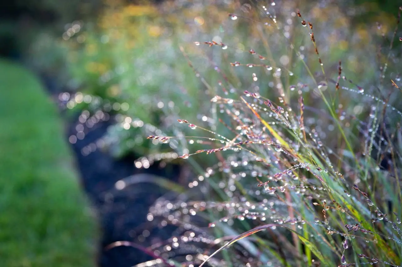
As useful as drone photography is, it does not replace traditional landscape photography. Ground-level images still capture the texture of stone, the softness of planting, the way light filters through foliage, and the human experience of moving through a garden.
The best project photography uses both.
Ground-level photography shows how a landscape feels. Drone photography shows how it is organized. Together, they create a more complete picture of the property.
Lessons From Our First Flights
We have not had the drone for very long, but it has already started to change how we think about documenting a property. It gives us new ways to understand scale, composition, and transformation. It also gives us a perspective that feels especially relevant to landscape design because it connects the finished project back to the plan.
The biggest lesson so far is simple: the best drone shots are intentional. They are not about flying high for the sake of it. They are about seeing the landscape from the angle that tells the clearest story.
Looking Ahead
Drone photography has quickly become a valuable part of how we document our work. It helps us capture large properties, complex transformations, and design relationships that would otherwise be difficult to show.
As we continue learning, we are excited to see how aerial photography can support our design process, project documentation, portfolio storytelling, and the way homeowners understand their landscapes.
For a landscape design, build, and maintenance firm, the drone has become more than a camera in the sky. It is another way of seeing the land.
Explore Our Landscape Design Work
At a Blade of Grass, we design, build, and maintain residential landscapes throughout Greater Boston, MetroWest, and Cape Cod. From full-property transformations to patios, pools, planting design, lighting, and long-term maintenance, our work is rooted in thoughtful planning and a deep understanding of how each property is experienced.
Explore our portfolio to see how our landscapes come together from every angle, or contact the Blade team to start a conversation about your property.